One tool. Total command.
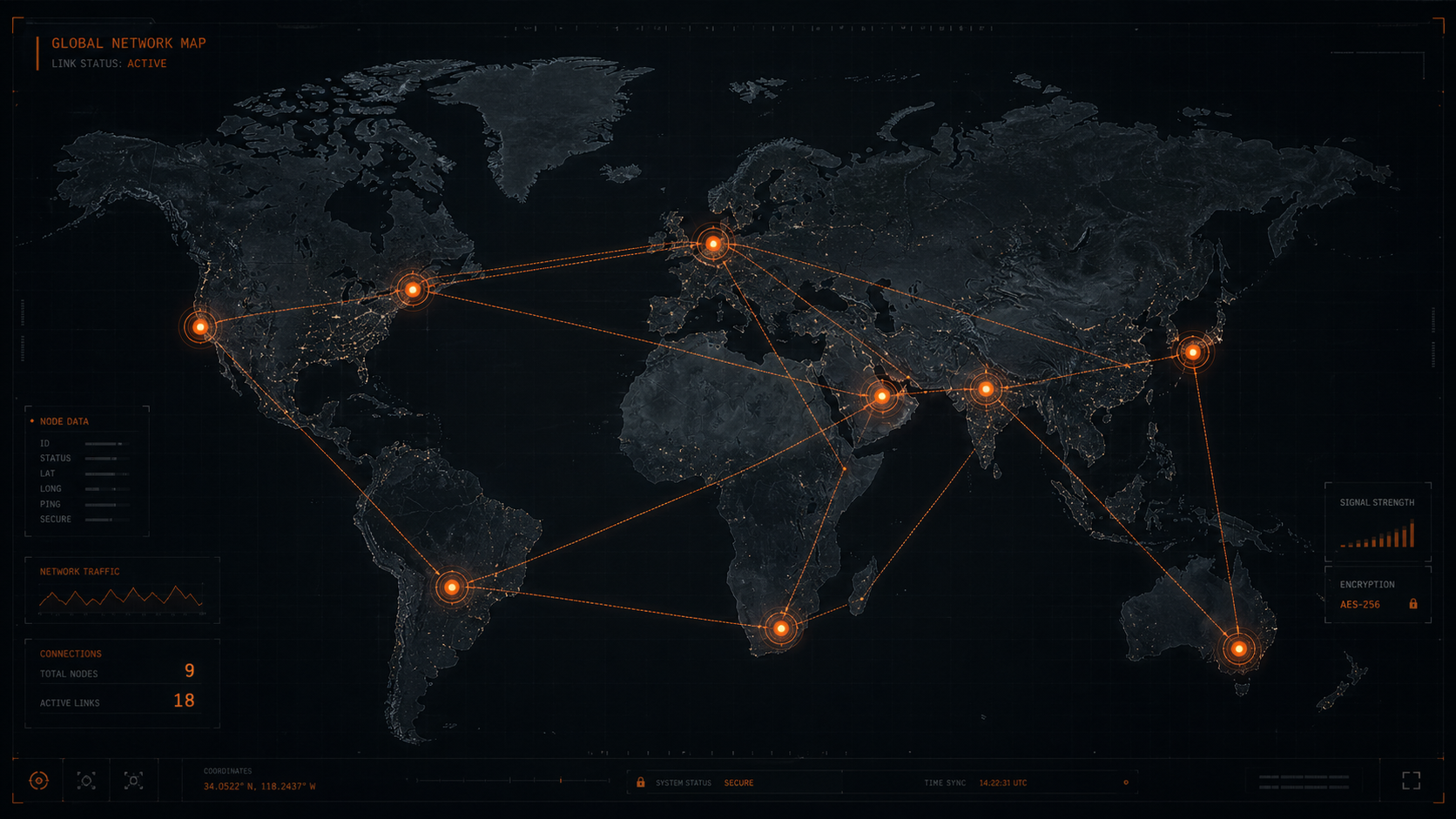
Visualize entire installations
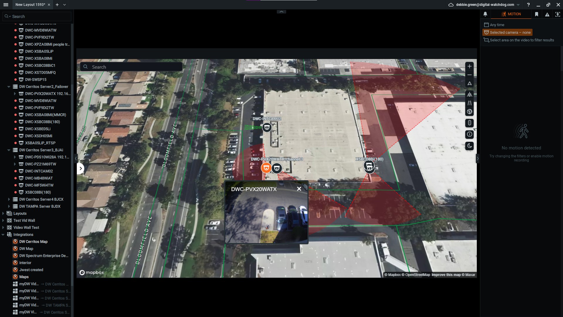
See every camera, sensor and IP device across all your sites in real time — with exact location, status and field of view rendered on a true geographic map.
Total situational awareness
Alarms appear directly on the map. Live and recorded footage is one click away, so operators can identify threats and act without hesitation.
Navigate effortlessly
Jump between cities, buildings and floors via Quick Links placed right on the map. Multi-site operations feel as simple as a single location.
Bring your own GIS data
Native support for online map services plus your existing GIS layers and CAD drawings — no conversion required. Reuse what you already have.
Drag-and-drop setup
Place cameras, define fields of view and create navigation links with simple point-and-click tools. Build a fully populated map in minutes.
Built into DW Spectrum
DW Maps is fully integrated into the unified DW Spectrum interface your team already knows — zero context switching, zero new tools to learn.